3D Projects and Printing
In my free time I try experimenting with different ways to visualize spatial data:

3D Printed lithograph of Colorado, designed to delineate watersheds when held up to a light source and provide a tactile way for people to see elevation changes. Made from an exported ArcGIS local scene, re-scaled in Blender, and sliced with PrusaSlicer to be printed on a standard Ender 3 sized printer.
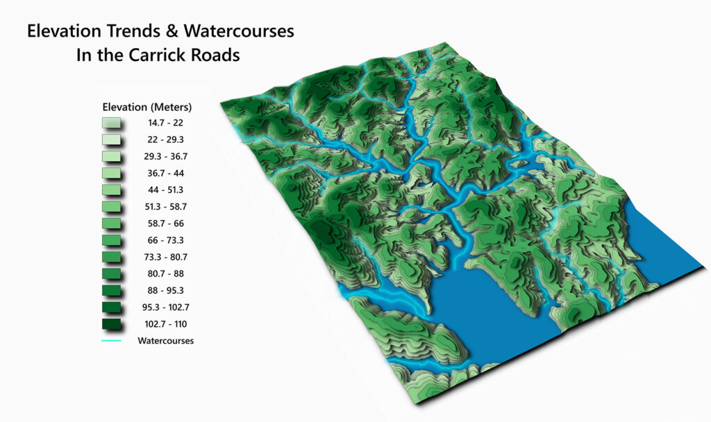
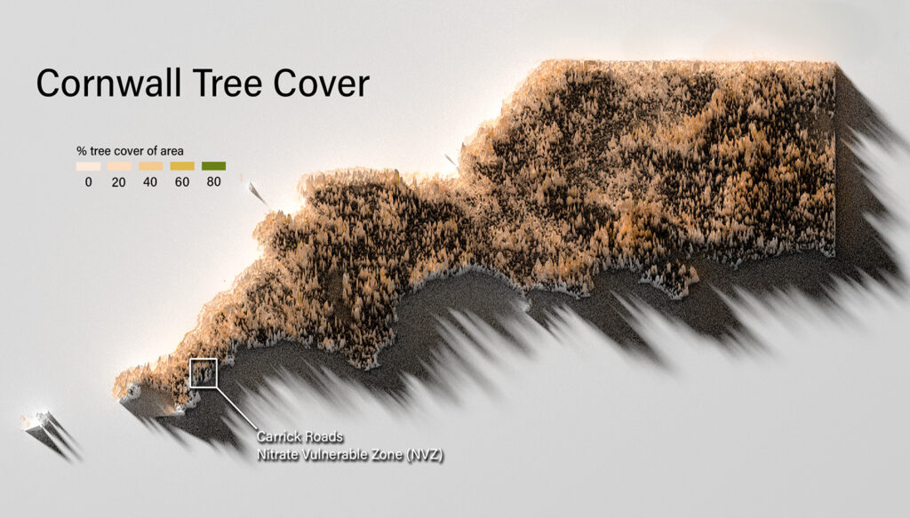
3D Map of the Carrick Roads watershed in Cornwall, UK made with ArcGIS Pro.
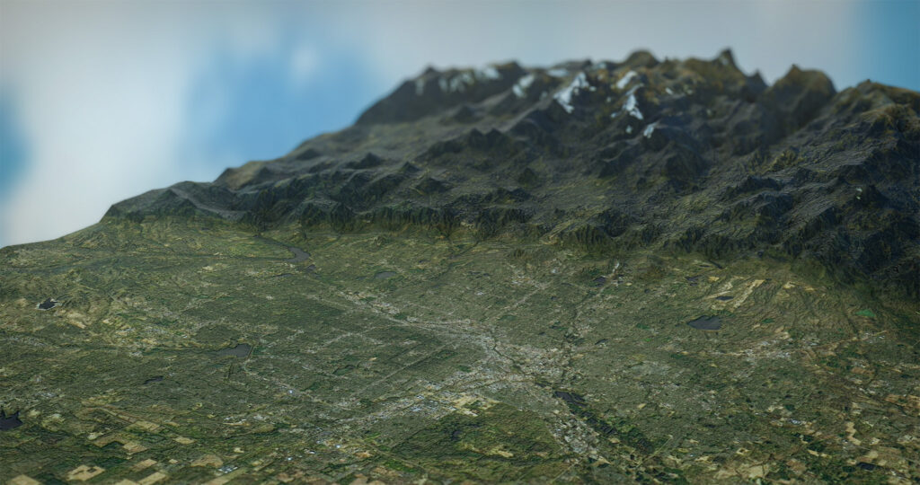
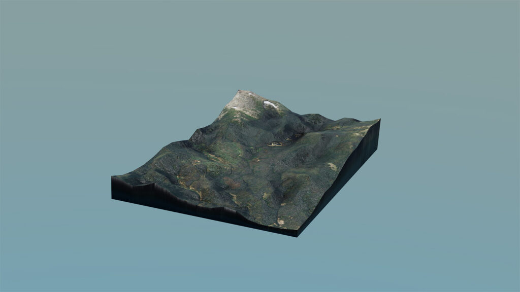
3D visualizations of the Denver Metro (Upper) and the CSU Mountain Campus (Lower) using and rendered with Blender.

A visualization of London run through a free and open source program called AerialLOD by developer ephtracy. Rendered with Blender to be presented at NOCO GIS Days 2022.
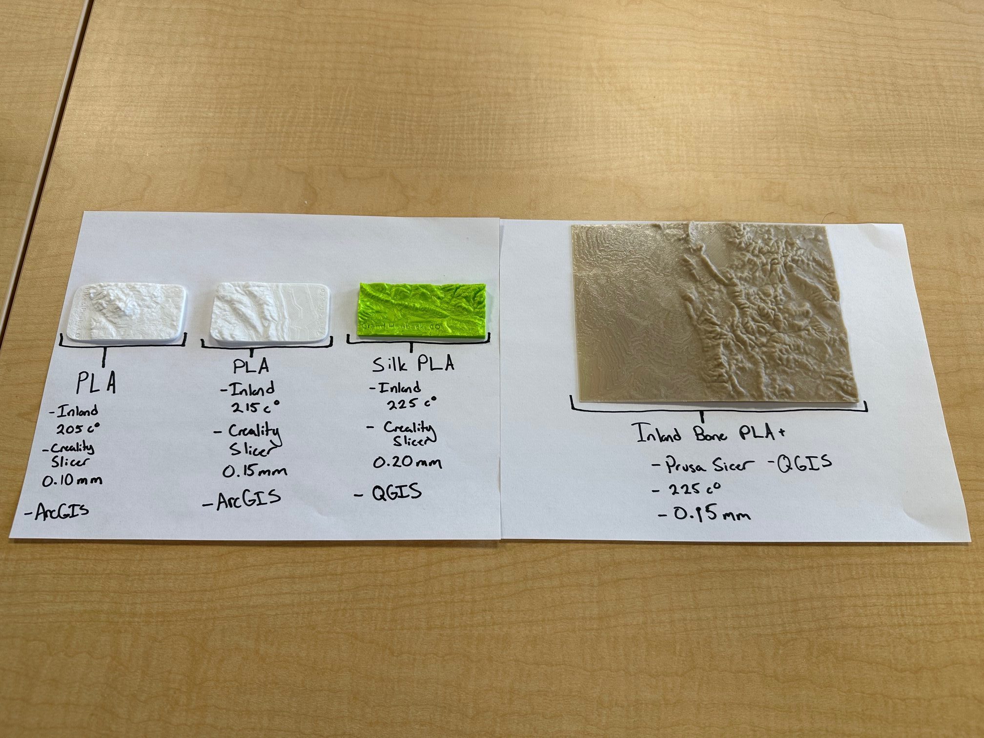
Different DEMs printed in different materials using different programs.
