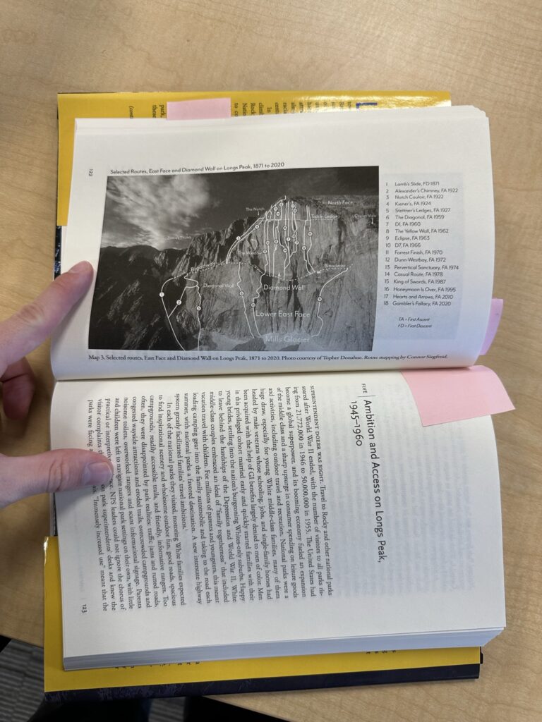
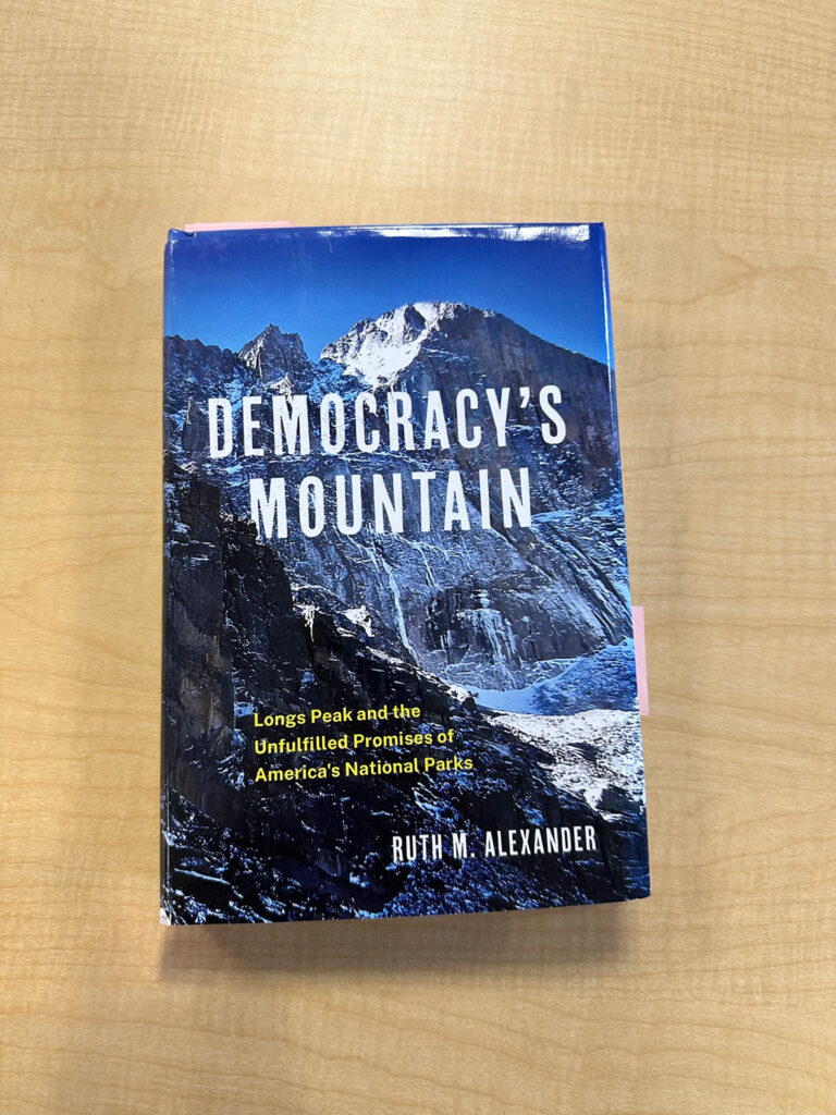
Climbing Route Map for Democracy’s Mountain by Ruth Alexander
My first project at the Geospatial Centroid! I was asked to help visualize climbing routes for the book ‘Democracy’s Mountain’ by Ruth Alexander. This was a great project because I was still learning the GIS ropes, but was able to still help with my arts background. This project dealt with a lot of verticality, photography, and was done with a combination of Adobe Illustrator and Lightroom.
ruth_alexander_democracies_mountain_SMALL

