Part of my role at the Geospatial Centroid was to make any posters or advertising material for geospatial events around campus, this is a collection of those and any academic posters I’ve made for various classes and presentations.
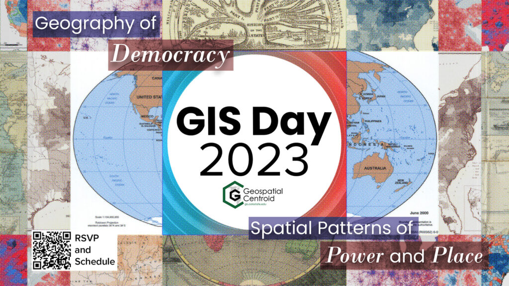
gis_day_poster_wordmarksMade in ArcGIS Pro and Adobe Illustrator, a poster for NOCO GIS Days.

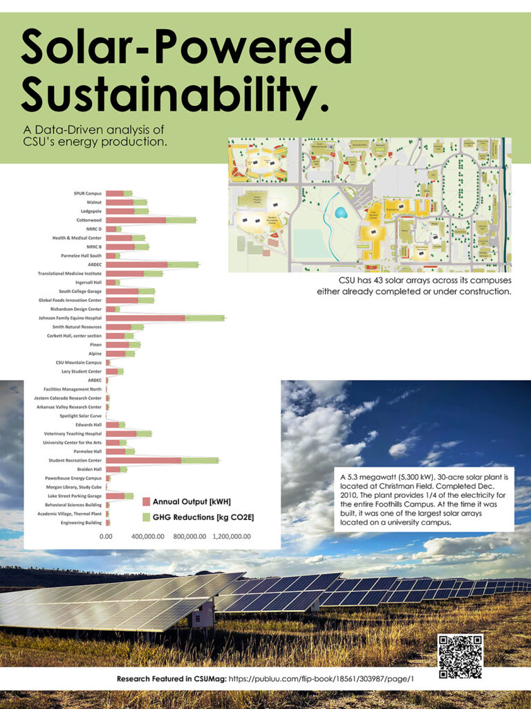
Made to present solar power data in conjunction with CSU Magazine and the sustainability thematic year, this poster was made with ArcGIS Pro and Adobe Illustrator and was present at my EcoLeader showcase. Photography and all graphical elements by me.

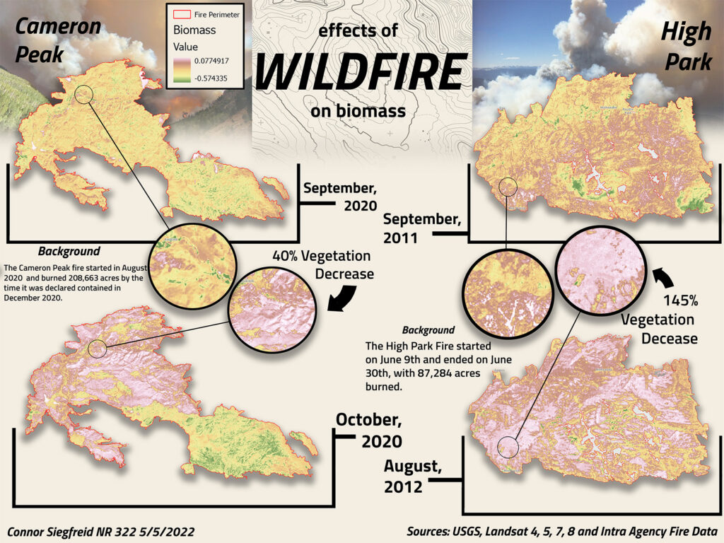
One of my first visualizations, this wildfire burn are map for High Park and Cameron Peak, Colorado was made for Elizabeth Tulanowski’s NR322 Intro to GIS class in 2022.


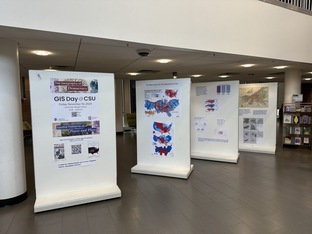
Another year’s CSU GIS Day posters, this one designed to line up with CSU’s ‘Democracy’ thematic year.
Siegfreid_Connor_Poster_For_Marine_Field_CourseA recently made academic poster created with ArcGIS pro to show the difference in field data collection methods for sea surface temperature off the coast of Falmouth in Cornwall, UK. Data was collected by hand by me and my peers and the maps were made by me in both ArcGIS Pro using the spatial analyst toolkit and matlab.
